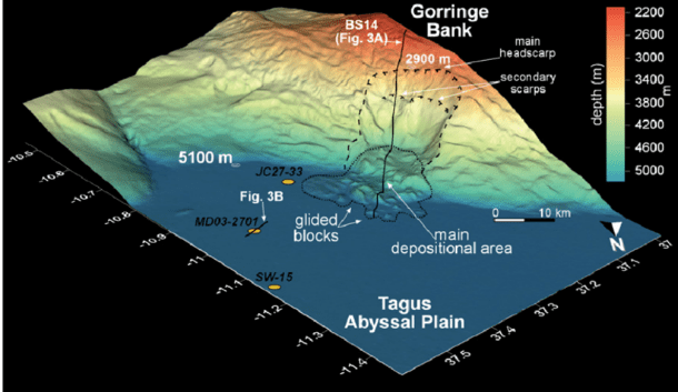
ARLIS has teamed up with the University of Illinois Urbana-Champaign (UIUC) as a member of its Intelligence and Security University Research Enterprise (INSURE) academic consortium in support of the National Geospatial-Intelligence Agency (NGA). The team is mapping coastlines and seafloor environments more effectively by designing intuitive interfaces and workflows to enhance spatial resolution and computational performance. Ultimately this research will make it easier for NGA analysts to generate better informed analysis.
“The University of Illinois provides collaborative, flexible and rich computational environments that enable quick experimentation and evaluation of new methods and techniques with the goal to improve application functionality and performance,” said Greg Bauer, a UIUC senior technical program manager. “These improvements can result in improved resolution, higher fidelity modeling as well as reducing the time for NGA scientists and analysts to get the data they need."
In another related project, UIUC senior research programmer James C. Phillips, is collaborating with NGA to develop and implement new methods that integrate imagery data with terrain data to yield accurate and timely representation of flood extents, overcoming the limitations of using imagery alone to support operational disaster response.
Established in 2020, the INSURE consortium allows ARLIS to reach out to the academic community to fill skill gaps that support sponsor missions. As a university-affiliated research center, ARLIS is able to more easily connect agencies like the NGA to technical expertise elsewhere in its network, in this case the UIUC. ARLIS researchers provide administrative oversight in these cases and ensure that project outcomes are integrated into relevant ARLIS project portfolios and built upon in future work for related stakeholders.
“This collaboration is helping the NGA ultimately help the human analyst facilitate more accurate navigation, defense applications, maritime navigation, and disaster response,” said Gene Gualtieri, an ARLIS associate research engineer. “This isn't just about maps; It's about improving navigation and defense systems.”
